Current Mapping
Bord na Móna currently use a Geographic Information System (GIS) which was first introduced in 2004. The GIS system used is called ArcGIS. The GIS allows for the capture, storage and management of all Bord na Móna’s spatial data. The software is customised to Bord na Móna’s specific needs across a number of business units. The primary source of Bord na Móna’s mapping background is the Ordnance Survey of Ireland (OSI) but other sources of up to date satellite imagery and aerial photography are also utilised.
The Geographic Information System is used for a number of things in Bord na Móna, including boundary management, land management, peat production, rail lines, and identifying silt ponds.
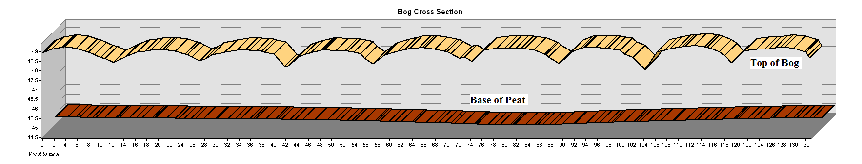
Bord na Móna’s feedstock department also uses LiDAR (Light Detection and Ranging) data to predict future peat reserves. This data is sourced from the OSI who fly a fixed wing aircraft to cover the necessary production bogs. The resulting data allows a surface layer of the production bog be created. When this LiDAR data is integrated with Ground Penetrating Radar data captured by Bord na Móna, it enables GIS professionals within Bord na Móna to produce 3D mapping of the peat reserves of the production bogs. This allows Bord na Móna to prepare long term predictions of the remaining peat resource up to 2030.
Bord na Móna’s renewable energy division, Powergen, uses the GIS tool for identifying site locations and turbine layouts for wind energy development. It is also used for noise mapping, shadow flicker and proximity of dwellings of proposed wind farms.
Bord na Móna ecologists have contributed some vital information to the current mapping system within the company. From their work within bog rehabilitation and restoration, they have helped produce detailed landuse and habitat maps for certain areas they work in. To date, they have mapped over 60,000 hectares. This allows Bord na Móna to predict future habitats and plan for the post-production rehabilitation of their bogs.
View the maps below to see how the technological advances has effected the final maps produced by comparing them to the bog commission maps of 1814.