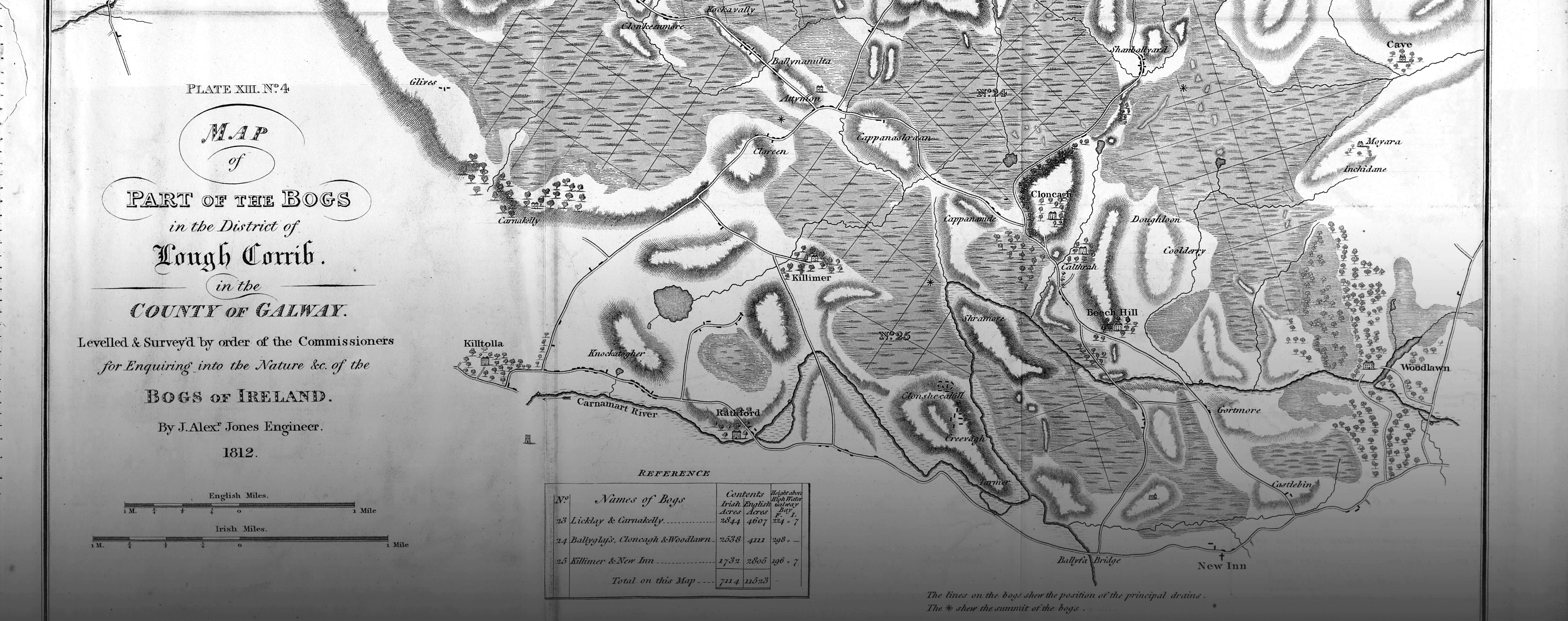
In 1808, Sir Arthur Wellesley, the future Duke of Wellington, advocated the setting up of a commission to enquire into the possible utilisation of Irish bogs.
As Bord na Móna moves away from peat production, the future of our land lies in a wide mix of uses, with a strong emphasis on rehabilitation, conservation and alternate sustainable future uses.